
HOW MODERN NAVIGATION CHANGED SAILING
By Publisher Ray Carmen
For thousands of years, sailors navigated using coastlines, stars, compasses, charts and generations of accumulated experience.
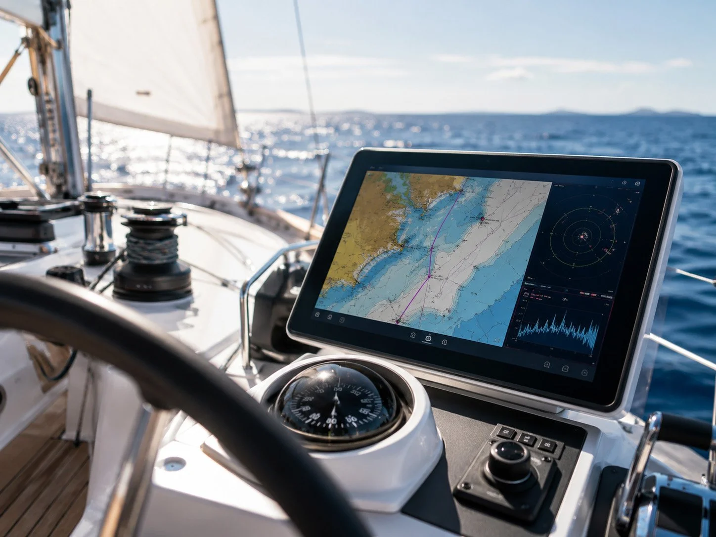
Today, a small electronic display can show a yacht’s precise position, speed, heading, surrounding traffic and predicted route.
Satellite navigation transformed sailing by providing accurate positioning across almost every part of the world. Electronic charts made it easier to plan routes and monitor progress, while radar allowed sailors to identify land, ships and weather even during darkness or poor visibility.
The Automatic Identification System enables suitably equipped vessels to exchange information including identity, course and speed. It has become an important tool for collision avoidance, particularly in busy shipping lanes.
Satellite communications now provide weather forecasts, emergency contact and global connectivity. Advanced routing systems can analyse wind, waves and currents before recommending an efficient course.
Depth sounders, forward-looking sonar and modern autopilots have further improved safety and reduced workload.
However, electronic equipment can fail.
Power loss, damaged antennas, inaccurate chart data or human misunderstanding can quickly create danger. Responsible sailors therefore continue to learn traditional navigation, keep appropriate paper charts and verify electronic information through observation.
Technology is most effective when supporting—not replacing—good judgement.
Modern navigation has made distant cruising more accessible and has improved the chances of receiving help during an emergency.
But the sea remains unpredictable, and the most important navigational instrument aboard any vessel is still an alert and properly trained human being.
TECHNOLOGY MAY SHOW THE COURSE—BUT SEAMANSHIP MUST GUIDE THE VOYAGE.